
About the Drones we use…
The current drone’s of choice are the DJI Range.
Safety is paramount, with current drone technology improving rapidly you no longer need a large heavy drone to achieve professional results. Our main drones for inspection work are the brand new DJI Matrice 4TD and DJI Mavic 3 Enterprise Thermal and the Mavic 3 Pro with its three camera set up for videography work. this new generation of smaller Matrice and Mavic series drones are exceptionally powerful.
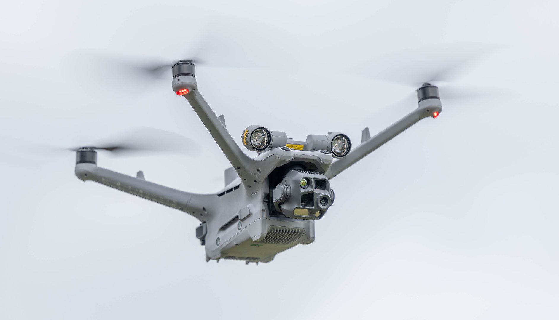
The Matrice 4TD Enterprise Thermal – IP55 rate so can be used in all weather, used for high quality inspection, mapping and Thermal imagery
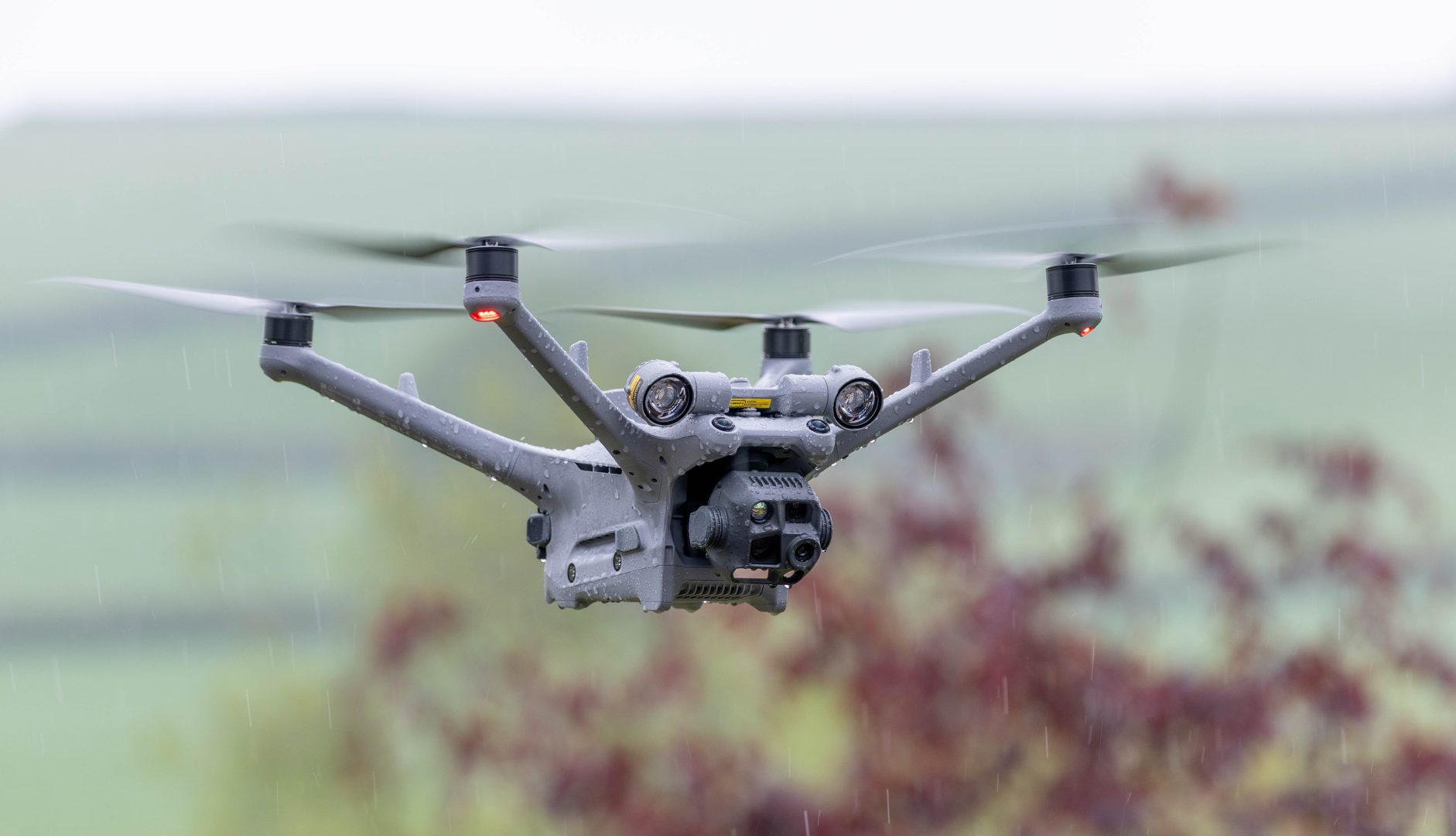
Wide-Angle Camera
1/1.3-inch CMOS
48MP Effective Pixels
f/1.7
24mm Format Equivalent
Medium Tele Camera
1/1.3-inch CMOS
48MP Effective Pixels
f/2.8
70mm Format Equivalent
Tele Camera
1/1.5-inch CMOS
48MP Effective Pixels
f/2.8
168mm Format Equivalent
Laser Range Finder
Measurement Range: 1800 m (1 Hz);
Oblique Incidence Range (1: 5 Oblique Distance): 600 m (1 Hz)
Blind Zone: 1 m
Range Accuracy (m): ± (0.2 + 0.0015 × D)
NIR Auxiliary Light
6° FOV, 100m [10] Illumination Distance
Infrared Thermal Camera
640×512 Resolution
f/1.0
53mm Format Equivalent
Uncooled VOx Microbolometer
Supports UHR Infrared Image mode
The Mavic 3 Enterprise Thermal – used for high quality inspection, mapping and Thermal imagery
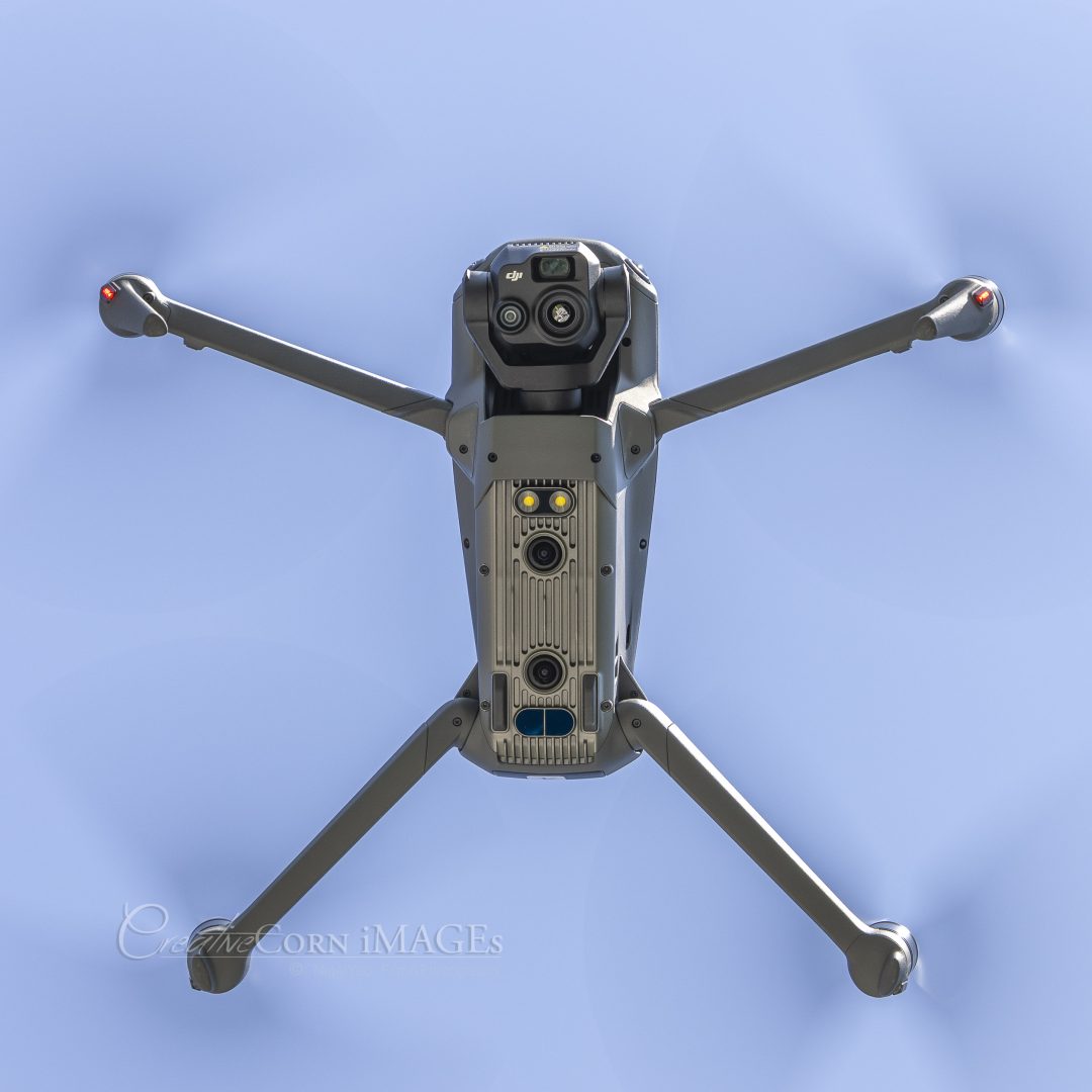
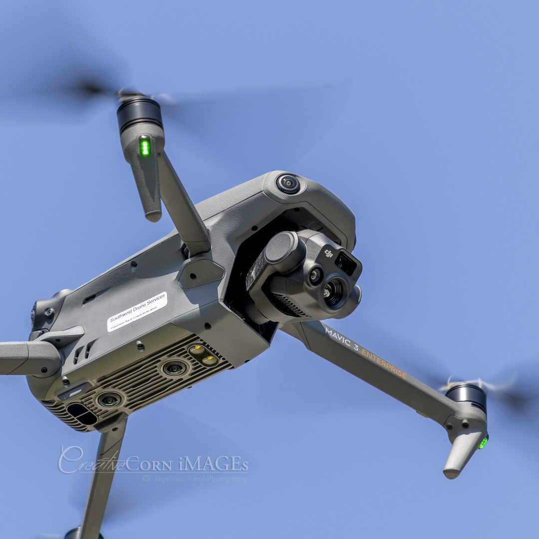
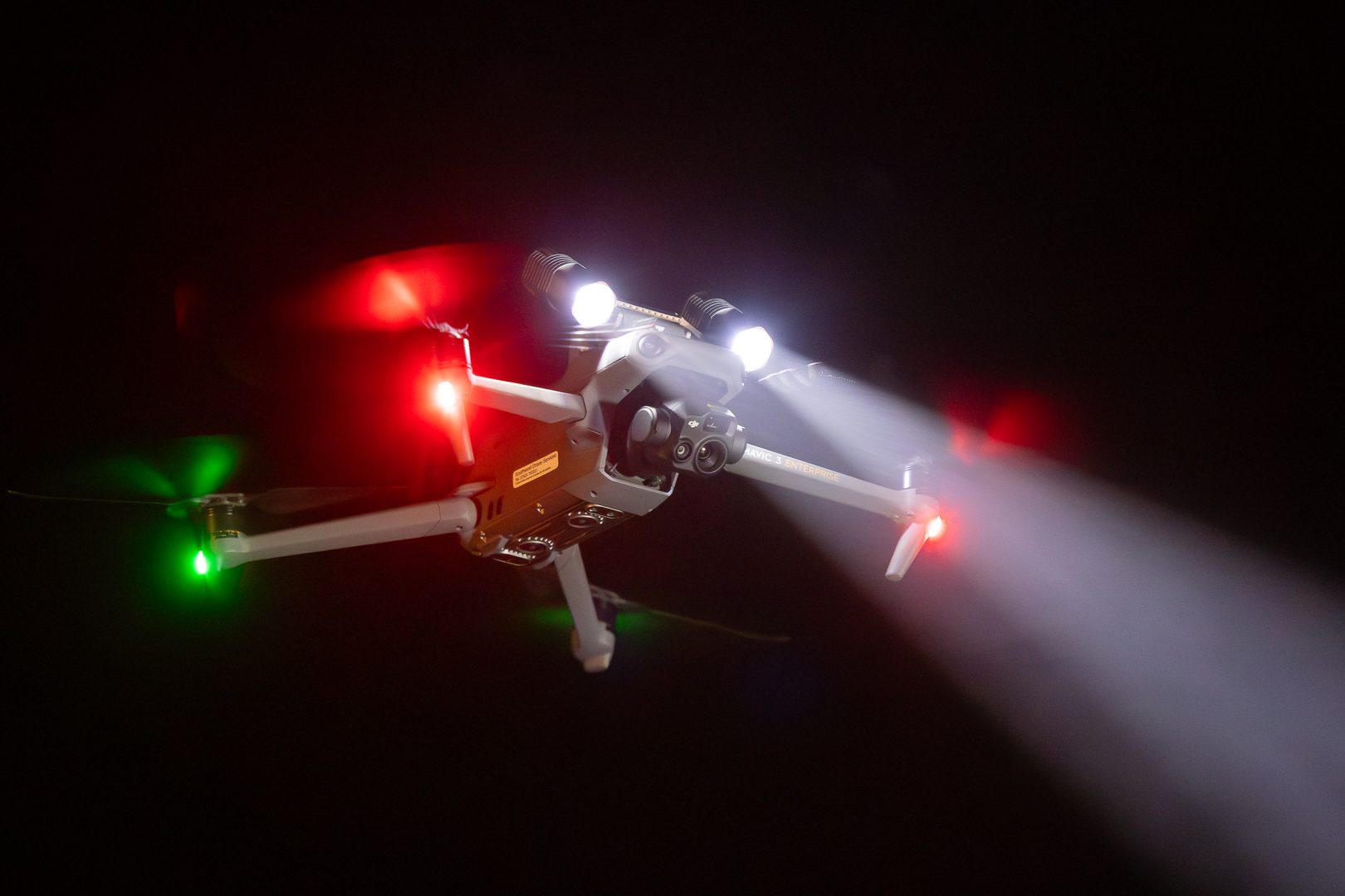
Small enough to be discreet yet powerful enough to get the job done!
The Mavic 3T (Thermal) uses a 48MP RGB sensor and the same thermal imaging unit as the larger Matrice 30T (used by many forces) but is small enough to be used internally as a hand held device enabling deeper thermal inspection.
Thermal Imager Spec
- Uncooled VOx Microbolometer
- Pixel Pitch
- 12 μm
- Frame Rate
- 30 Hz
- Lens
- DFOV: 61°
Format Equivalent: 40 mm
Aperture: f/1.0
Focus: 5 m to ∞
- Sensitivity
- ≤50 mk@F1.1
- Temperature Measurement Method
- Spot Meter, Area Measurement
- Temperature Measurement Range
- -20° to 150° C (-4° to 302° F, High Gain Mode)
0° to 500° C (32° to 932° F, Low Gain Mode)
- Palette
- White Hot/Black Hot/Tint/Iron Red/Hot Iron/Arctic/Medical/Fulgurite/Rainbow 1/Rainbow 2
- Photo Format
- JPEG (8-bit)
R-JPEG (16-bit)
- Video Resolution
- 640×512@30fps
- Bitrate
- 6 Mbps
- Video Format
- MP4 (MPEG-4 AVC/H.264)
- Still Photography Modes
- DJI Mavic 3T:
Single: 640×512
Timed: 640×512
JPEG: 2/3/5/7/10/15/20/30/60 s
- Digital Zoom
- 28x
- Infrared Wavelength
- 8-14 μm
- Infrared Temperature Measurement Accuracy
- ±2° C or ±2% (using the larger value)
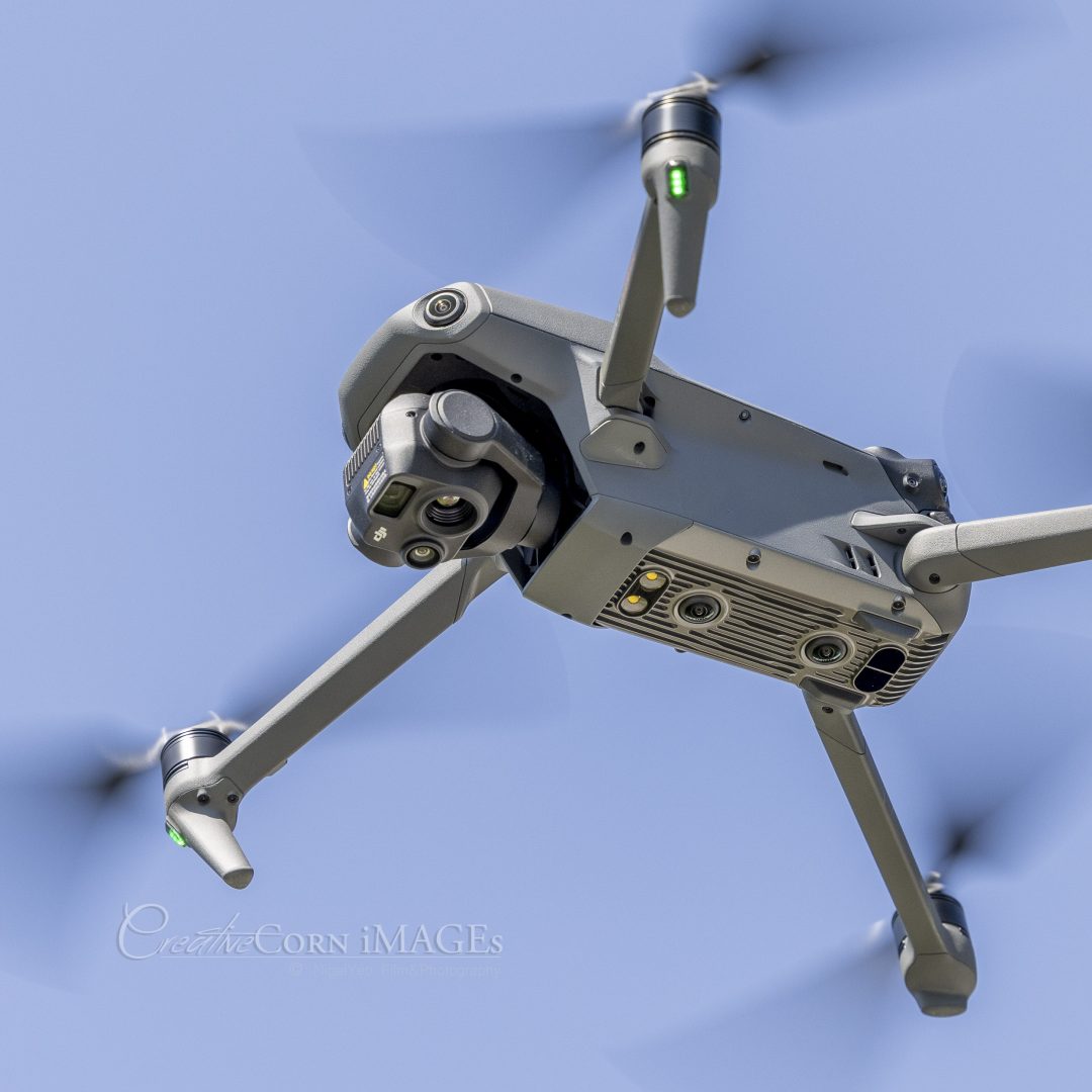
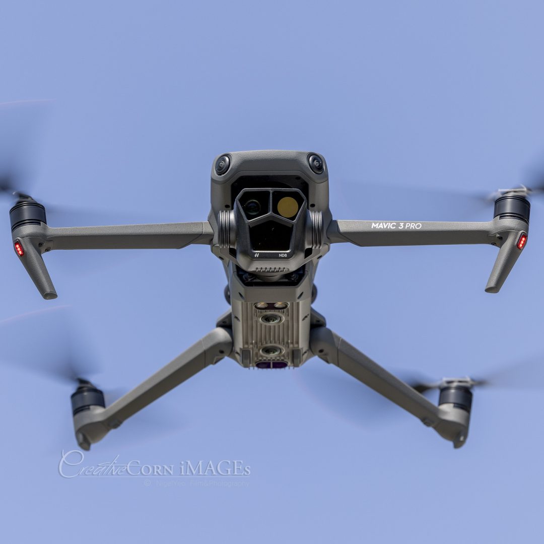
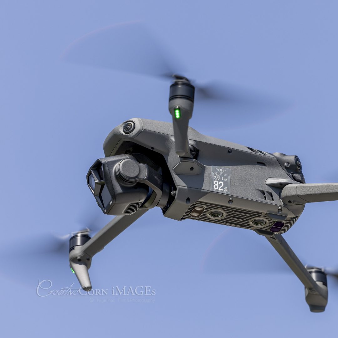
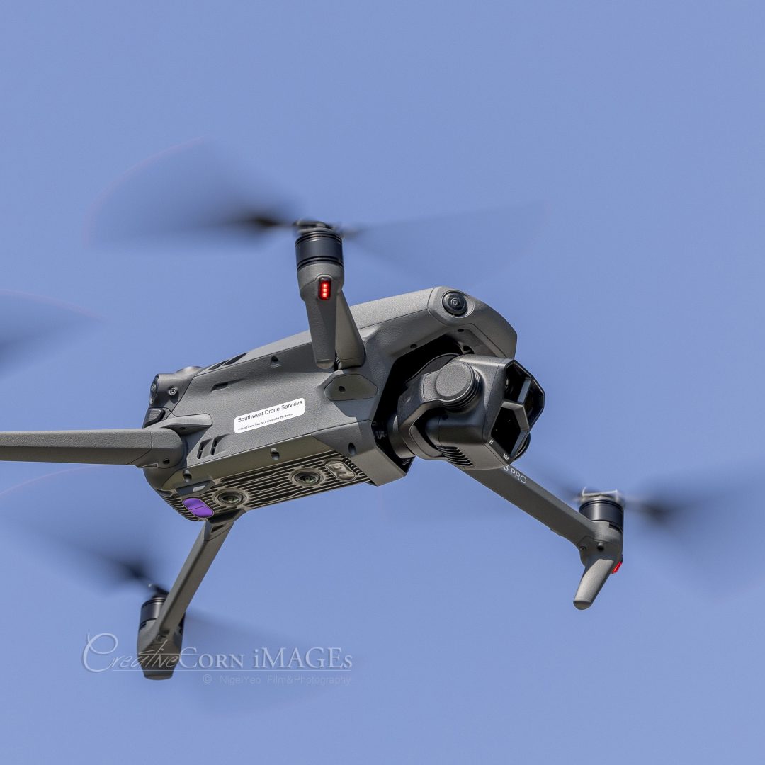
The Mavic 3 Professional – used for videography and stills
Utilising a triple camera system the Mavic 3 Pro is able to capture unique images normally reserved for larger Drones or Helicopters!.
DJI Mavic 3 Pro Camera Spec
- Image Sensor
- Hasselblad Camera: 4/3 CMOS, Effective Pixels: 20 MP
Medium Tele Camera: 1/1.3″ CMOS, Effective Pixels: 48 MP
Tele Camera: 1/2″ CMOS, Effective Pixels: 12 MP
- Lens
- Hasselblad Camera
FOV: 84°
Format Equivalent: 24mm
Aperture: f/2.8-f/11
Focus: 1 m to ∞Medium Tele Camera
FOV: 35°
Format Equivalent: 70mm
Aperture: f/2.8
Focus: 3 m to ∞Tele Camera
FOV: 15°
Format Equivalent: 166mm
Aperture: f/3.4
Focus: 3 m to ∞
Each model has its strengths and plays its part in delivering professional results.
These are not toys but high performance tools.
All flights are screen recorded and flight logs avaliable.